
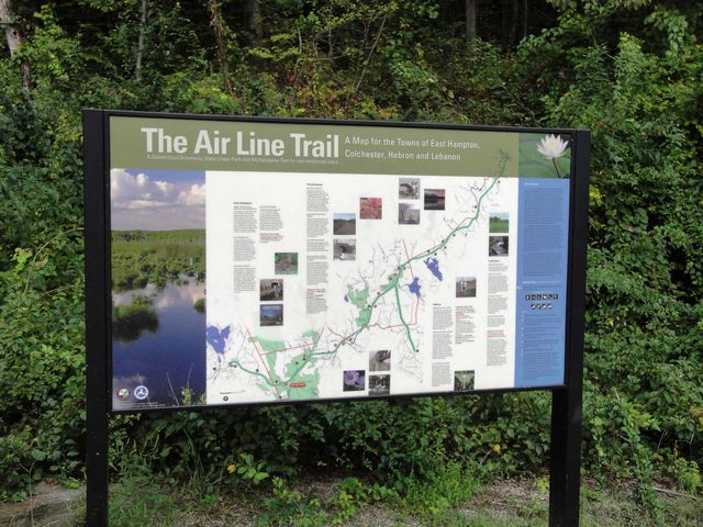
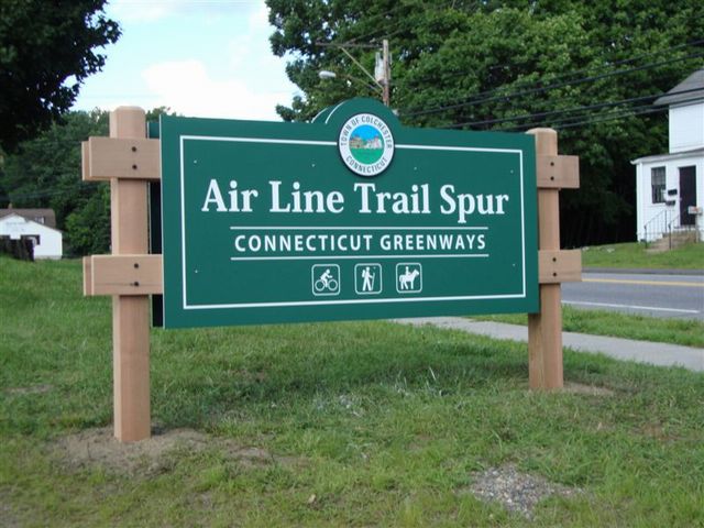
Air Line Trail State Park & Colchester Spur
| Trail Names | Segment Distance (rounded to nearest tenth of mile) |
|---|---|
Smith Street to Bull Hill Road | 3.1 miles |
Bull Hill Road to River Road | 2.4 miles |
River Road to Route 149 | .5 miles |
Route 149 to commuter p/lot | .4 miles |
Commuter p/lot to Old Hartford Road | .3 miles |
Old Hartford Road to Grayville Rd. | 2.2 miles |
Grayville Road to Old Colchester Rd. | .5 miles |
Old Colchester. Road to Route 85 | 1.2 miles |
Route 85 to North Pond Road | .1 miles |
North Pond Road to Route 207 | .5 miles |
Route 207 to Leonards Bridge Road | 2.1 miles |
Leonards Bridge Road to Chesbro Bridge Road NOV. 2008 - NEWLY COMPLETED/STONEDUSTED SECTION! | 1.0 miles |
Chesbro Bridge Road to Route 87 | 1.5 miles |
Route 87 to Cook Hill Road | .8 miles |
Cook Hill Road to Village Hill Road | 1.1 miles |
Village Hill Road to Kingsley Street | 1.0 miles |
Kingsley Street to Willimantic River | .4 miles |
Total Miles | 18.9 miles |
| Trail Name | Segment Distances (rounded to nearest tenth of mile) |
|---|---|
Lebanon Ave to Old Amston Rd | 1.0 miles |
Old Amston Rd to Rt 85 | 1.9 miles |
Rte 85 to Air Line Trail | 0.6 miles |